
Maps: Exceptionally Created For Our Clients
Each of our client’s forests are unique, and therefore need to be represented spatially in a way that highlights these defining characteristics. Through the use of GPS data recorders in the field and computer GIS in the office, Green Timber is able to produce professionally created maps to accurately represent what is on the ground.
Our team's mapping services promote:
- Spatial Accuracy
- Feature Clarity
- Optimal Descriptors
We generate maps highlighting various features customized for specific projects including, but not limited to:
- Management Plans
- Timber Sales
- Forest Inventories
- Property Location
- Roads/Trails
- Slope/Aspect
- Lakes/Streams
- Special Features such as Buildings and Hunting Blinds
- Natural Features such as a Natural Spring or Eagle's Nest
Mapping services offered
Timber Sale Maps
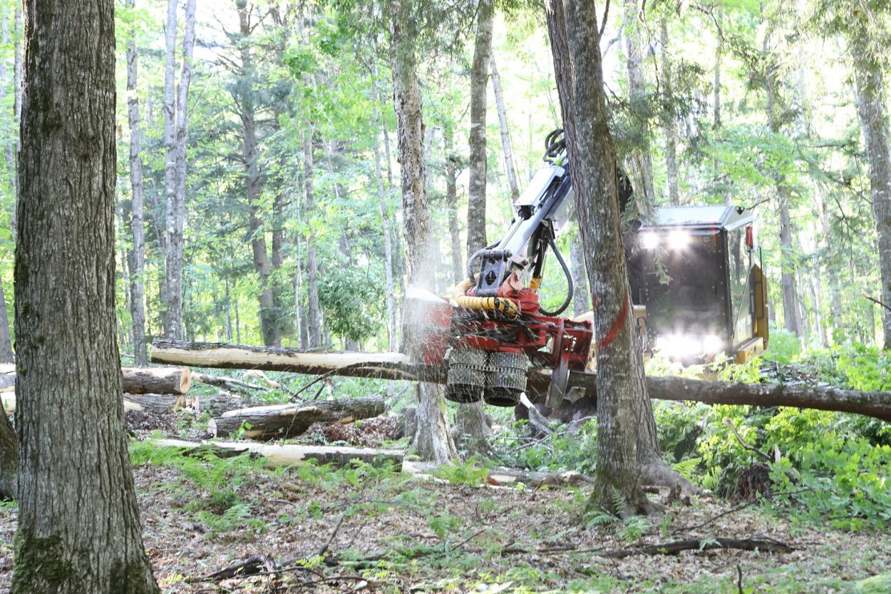
Every timber sale we set up and administer, both a timber sale map and locator map are created. The locator map is meant to provide loggers the ability to see how to access the property / timber sale, to diminish potential issues of going to the wrong place. The timber sale map contains boundary lines painted on the ground, which are collected with a GPS when painted.
By collecting these harvest boundaries through GPS and then integrated in the map through GIS, we know accurate representation is obtained of the size and location of the harvest area. Roads and skid trails are also included on timber sale maps, thus showing where the desired haul routes of wood are to be located. Other features often included on timber sale maps are rivers / streams / wetlands, bridge or culvert crossings, special landowner features, powerlines, and so much more. All of this is to give the logger the most information about your property as possible for the purpose of mitigating any unnecessary negative effects of logging disturbance.
Management Plan Maps
For our clients in need of a management plan, this service also comes standard with a set of maps.
Standard Sets of Maps Include:
A locator map shows the property location in relation to the nearest towns, county roads, or bodies of water.
A stands map spatially displays the forest composition on the property, along with listing the type and amount of acres of each stand.
An activities map really drives home the display of a landowner’s goals and objectives, providing representation of professionally recommended management for each stand within the property.
The last of the standard management plan maps is a soils map, showing the different soil types and their location either within or directly adjacent the property.
The inclusion of these four maps within a management plan provides a client so much insight into what their property all contains. Additional, special types or features maps are available upon request; we would love to discuss being able to represent the uniqueness a client’s property through maps even beyond what comes with the management plan.

Special Project Maps
In addition to producing unique timber sale and management plan maps for each client, Green Timber produces a wide array of forest and environmentally related maps. Inventory maps showing plot and forest type layout are crucial in presenting areas which were cruised for a client’s inventory project. There still may be no better way of displaying slope and aspect than with a traditional topography map, especially since other layers of interest can be overlaid on it. Land cover maps are a wonderful way of displaying differences in general forest types, particularly on a landscape scale. With Green Timber’s drone and mapping capabilities, we are able to produce professional maps specifically for a client’s property with the real-time drone captured imagery.
Regardless of what type of map is desired, Green Timber is capable of creating it through our professional mapping software. Each map which we produce can be geo-referenced, meaning that it is spatially tied to its location on the ground. Through the “Avenza Maps” app on a cell phone or tablet, you are able to use a uniquely created map from Green Timber to navigate anywhere in the map area. This means no more need to use the generic maps provided on the Internet which require service to upload and aren’t specific to your area of interest. With a geo-referenced map from Green Timber, your map displays what is important to you, and can be used anytime or anywhere you want.
Other Mapping Examples: