
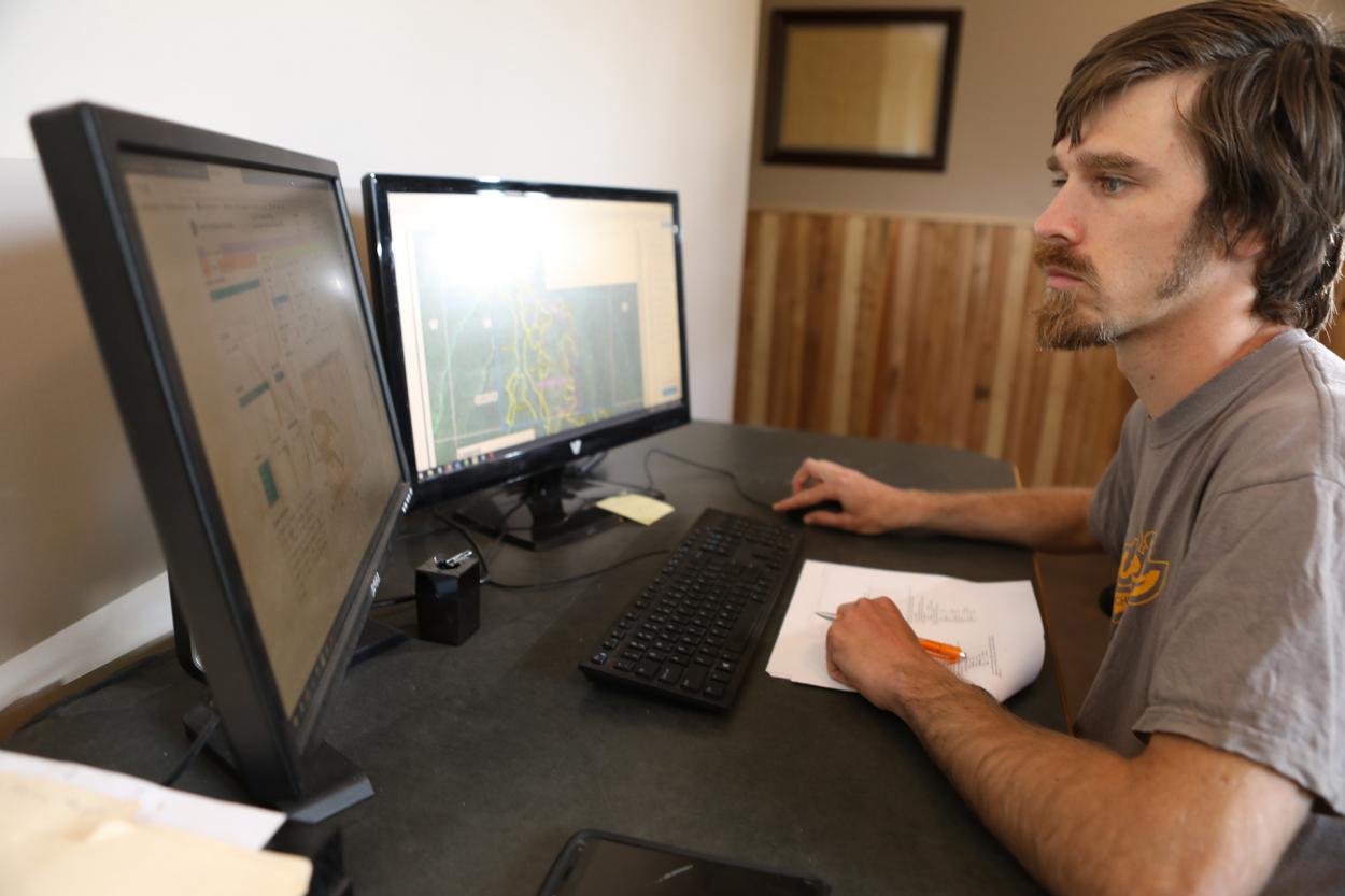
Purpose
GIS analysis allows for more informed evaluation of forestry related projects or any project that can be spatially represented. It helps with logistics, efficiency, decision making and predicting end results. Listed below are some examples of how GIS is used in forestry.
GIS Analysis in Forestry
- Monitor landscape or localized change over time
- Identify forest types and allocate accurate acreage
- Monitor forest health
- Set priorities for forest management
- Forest inventory planning
- Project feasibility planning
- Identify adjacent landowners
- Wetlands and hydrology
Available GIS analysis products
Change Detection Map
Change detection maps are derived by comparing and quantifying satellite imagery data values from different points in time for the same geographic area. They can serve a variety of purposes for large scale land management especially in very remote areas. Some examples in forestry may include: wildfire area management, monitoring changes in hydrology and water levels, detecting recent aggressive harvest areas, monitoring forest disease and also keying in to areas that may have been affected by weather events.
Buffer Zone Maps
Buffer zone maps delineate geographic areas around or along certain features which can be very helpful in proximity analysis. GIS software allows for quick and easy analysis of areas affected by buffers and also is extremely helpful in laying out buffer zone boundaries on the ground.